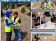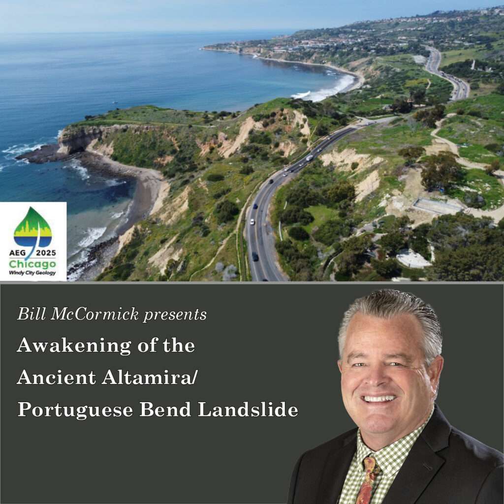
William V. McCormick, PG, CEG, Principal Engineering Geologist will be presenting “Awakening of the Ancient Altamira/Portuguese Bend Landslide” at the Association of Environmental & Engineering Geologists (AEG) 68th Annual Meeting in Chicago, Illinois, on September 26, 2025.
Learn about GLA’s geotechnical and geoenvironmental engineering and geologic services here.
AEG’s vision is to be acknowledged as an international leader in environmental and engineering geology, and greatly respected for its stewardship of the profession. Learn more about the conference here.
Abstract: Awakening of the Ancient Altamira/Portuguese Bend Landslide
Co-authors: William McCormick, Michael Phipps, Patrick Shires
The Altamira Landslide encompasses four historically active landslides in the City of Rancho Palos Verdes, California: the Portuguese Bend (PBL), the Abalone Cove (ACL), the Klondike Canyon (KCL), and the Beach Club (BCL) landslides. Semi-continuous to episodic, relatively slow movement of these landslides has been well documented during different time intervals since at least 1956. These active slides are present within the ancient Altamira Landslide that has been mapped by various agencies. Following two significantly wetter than average rain seasons, a major landslide developed that extended to near the mapped boundaries of the ancient landslide in 2023-2024. Recent investigations indicate that movement of the Altamira Landslide is significantly deeper than the PBL and extends beyond the ACL, PBL and KCL; in some cases involving two separate slip surfaces moving in different directions. This deeper and more extensive movement was never previously documented. The deep landslide movement is believed to have been activated primarily by very high pore pressures (in some cases artesian or near-artesian) discovered beneath the deep landslide failure surface as well as between the deep and shallower (historic) failure surfaces. Surface manifestation of failure is substantially larger (growing from 380 to over 700 acres), accelerated movement rates exceeding 12 inches per week and uplift along the coastline creating up to 500’ of new beach. Emergency mitigation measures included development of a deep dewatering program consisting of several dewatering wells near the toe of the landslide. Monitoring showed a rapid decrease in groundwater pore pressures at various levels within the landslide and GPS surveys of monuments confirmed that dewatering significantly reduced landslide movement, including cessation locally.