GEOLOGY

GLA’s professional geologists endeavor to identify and characterize the geologic and geotechnical conditions that affect our clients’ projects. From geologic mapping of a proposed site, to a broad scale subsurface investigation, GLA has the expertise to provide geologic services for a wide range of projects and terrains. Our geologists provide the “groundwork” for our geotechnical, civil, and environmental engineers to develop engineering approaches and solutions to our clients’ challenges.

Our geology services include:

  • Fault investigations
  • Geologic mapping
  • Landslide investigations
  • Shear wave velocity and seismic refraction surveys
  • Soil characterizations
  • Subsurface geologic investigations

Fault investigations

Having conducted hundreds of geologic fault investigations throughout California, one of the most seismically active regions in the world, GLA’s geologists have garnered essential experience for identifying geologic hazards posed by faulting.

Typical investigations include literature review, geologic mapping, and trenching the site to confirm the location of a fault. The soil horizons and lithified strata exposed in the walls of the fault trench are carefully examined to identify evidence of faulting. Trench logs, combined with surface mapping, are used to assess surface rupture risk and develop appropriate recommendations for the project in accordance with local and state ordinances.

Geologic mapping

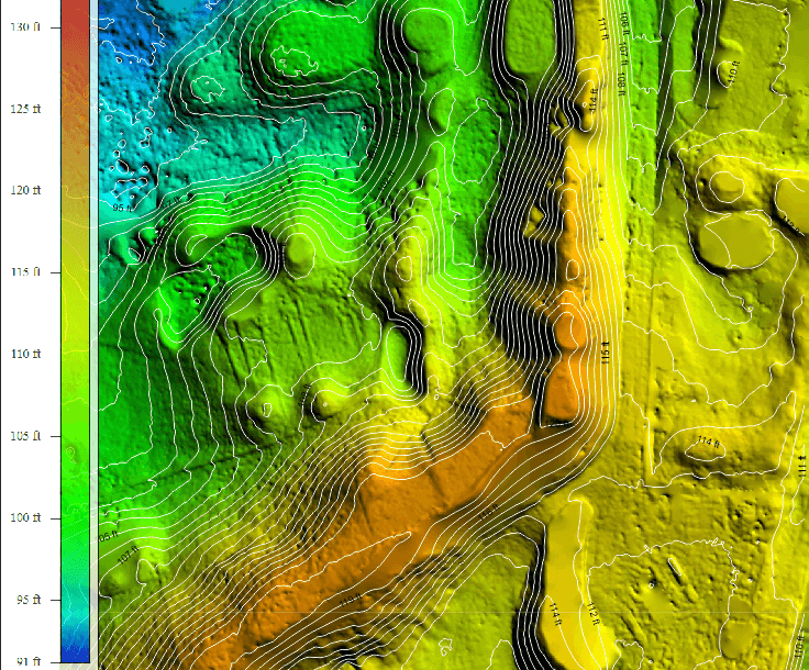
GLA’s professionals often use geologic mapping to evaluate geologic hazards, assess earth material resources, and conduct site characterization studies. Our geologists combine fundamental field mapping skills with the latest Global Positioning System (GPS) tools and computer aided design and drafting (CADD) drafting to produce detailed and accurate geologic maps that portray the geologic structures, contacts, and stratigraphy that affect the designs of our clients’ site development and remediation projects.

Landslide investigations

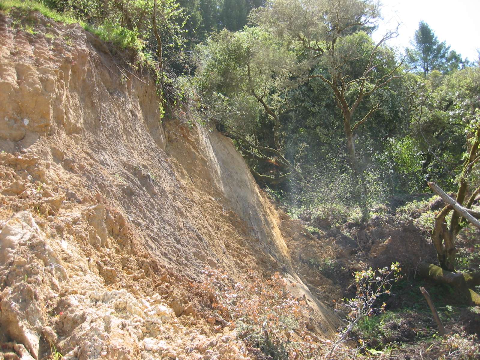
GLA is often asked to perform landslide investigations on short notice, due to the emergency nature of such an event. Geologic reconnaissance and mapping; subsurface investigations; slope monitoring, acquisition, and processing of data; development of conclusions regarding the mechanics and apparent controls on landslide movement; as well as evaluation of possible mitigation options are all components of a geologic landslide investigation. Our geologists work in concert with our geotechnical engineers to quickly develop viable, cost-effective options for landslide mitigation.

Shear wave velocity and seismic refraction surveys

GLA provides its clients with the capability to perform both seismic refraction and refraction microtremor (ReMi) geophysical surveys. Seismic refraction methods can be used to assess rippability of rock and depth to groundwater, while the ReMi technique can be used to assess geologic structure, stratigraphy, and for the purposes of seismic site response analyses, shear wave velocity site class.

Soil characterizations

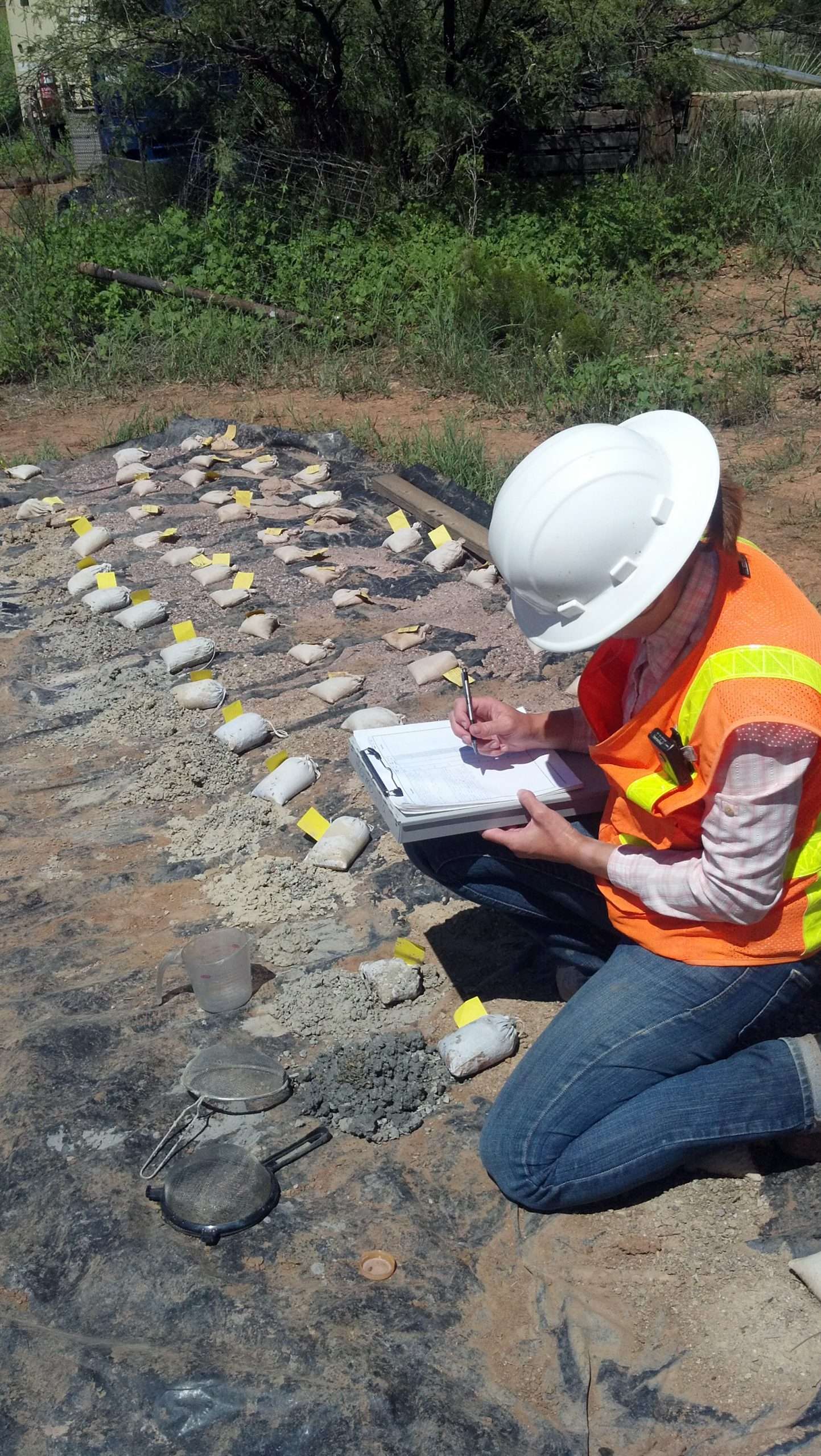
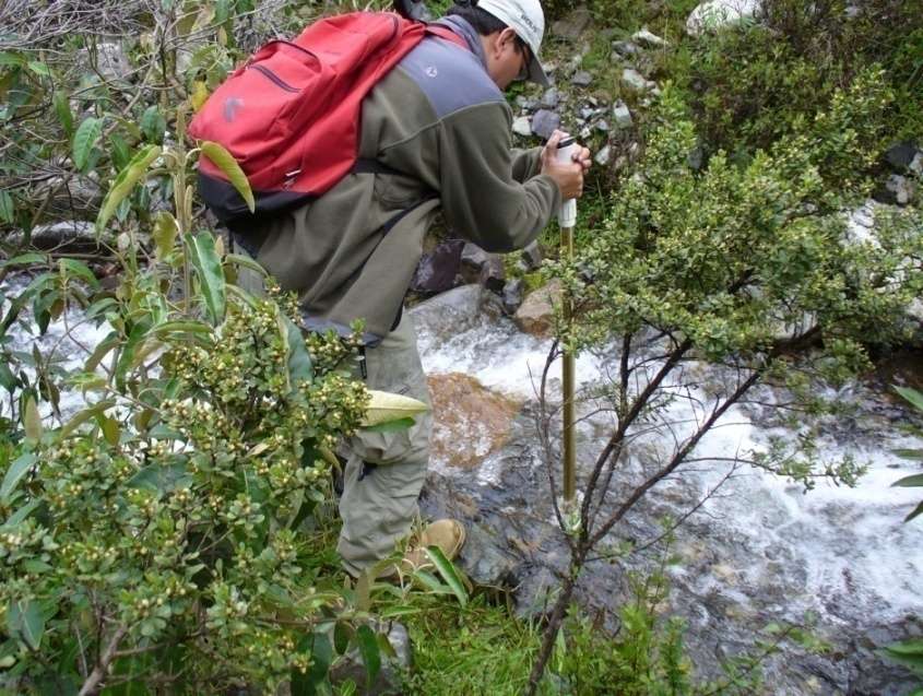
Soils are a resource for many construction projects, forming structural fills for building construction, low permeability layers for containment systems, granular media for drainage networks, and buttressing fills to stabilize slopes. Detailed characterization of soil properties and geometries is a fundamental service that GLA provides its clients. GLA professionals have extensive experience in mapping and interpreting geologic conditions and collecting representative soil samples for laboratory analyses. GLA operates four accredited geotechnical laboratories that can analyze samples for the parameters necessary to support engineering analysis and regulatory compliance.

Subsurface geologic investigations

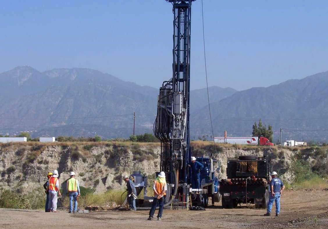
GLA’s geologists tailor their geologic investigations to meet each project’s specific needs. By incorporating results from past studies, site reconnaissance, geologic mapping, and geophysical investigations, our geologists develop focused subsurface investigations that minimize ground disturbance by siting boreholes and investigations at locations that maximize data value and quality and reduce project costs. Our geologists are highly experienced in subsurface geologic investigations and with various types of drilling and excavation methods, monitoring equipment, and safety measures and produce well-designed and executed subsurface investigations that result in developing effective designs for civil construction projects, environmental containment systems, environmental monitoring, and remediation systems.

HYDROGEOLOGY

Hydrogeology is the study of the distribution and movement of water through soil, sediment, and rock below the ground surface. Our hydrogeologists understand this interaction and are experts at conducting hydrogeologic analysis for water supply and environmental assessments. Our expertise encompasses the design, installation, and testing of production and monitor wells, characterization of all types of aquifer systems and the simulation of groundwater flow and solute transport.

Hydrogeology services include:

  • Aquifer testing and analyses
  • Data management
  • Delineation and characterization of aquifers
  • Groundwater flow and quality modeling
  • Well design, installation, development, and abandonment

Aquifer testing and analyses

GLA hydrogeologists have extensive knowledge and experience in aquifer testing and analyses. Aquifer testing is a critical step in water supply well field or groundwater remediation system design. Our team plans and conducts aquifer tests to quantify hydrogeologic conditions, such as well production capacity and resource sustainability, and to identify aquifer conditions that limit or enhance groundwater flow.

Delineation and characterization of aquifers

GLA geologists and hydrogeologists delineate and characterize aquifers using geologic mapping, construction of cross sections and fence diagrams using well logs and surface geology maps, and collection and analysis of surface and borehole geophysics to identify the depth and extent of water yielding rocks. Aquifer characterization in many areas can be enhanced by utilization of well logs collected for oil and gas wells. Often we develop three-dimensional geologic models using Leapfrog or similar software to assist with the interpretation of geologic features and cross check geologic interpretations.

Groundwater flow modeling

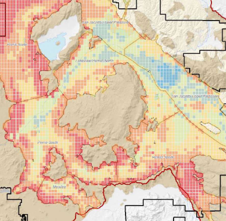
Understanding the movement of water and contaminants is essential to making effective water supply and environmental decisions. Our hydrogeologists are experienced at constructing and calibrating reliable and defensible groundwater flow models used to assess past, present, and future groundwater conditions. We are proficient in the application of the wide range of supporting software and graphical user interfaces currently used in the industry to support groundwater modeling investigations and assessments.

The GLA modeling team differentiates itself from competitors by offering the technical skills and professional insight obtained through advanced academic training combined with extensive real-world experience.

Our computer models have been used for many purposes, including:

  • Establishing the sustainability of groundwater supplies for municipalities and residential or commercial developments
  • Identification of optimal well field configurations
  • Assessment of groundwater pumping effects on surface water
  • Assessment the impact of mining operations on water resources, local groundwater, and/or surface water
  • Predicting the ultimate pit lake water level after the cessation of mining
  • Forensic evaluation of groundwater contamination and determination of contaminant sources
  • Design of groundwater remedies at environmental sites
  • Assessment of the fate of groundwater recharged at Managed Aquifer Recharge projects

Our modeling services include:

  • Groundwater flow and interaction of groundwater and surface water (e.g., all USGS MODFLOW versions including NWT and USG, MODFLOW-SURFACT, and FEFLOW)
  • Contaminant fate and transport modeling (e.g., MT3DMS, MT3D-USGS, MODFLOW-SURFACT, MODFLOW-USG, and FEFLOW)
  • Density-dependent groundwater flow and solute transport (e.g., SEAWAT, MOCDENS, and SUTRA)
  • Watershed and basin-scale recharge modeling (e.g., INFIL and DPWM)
  • Vadose zone modeling (e.g., HYDRUS, MODFLOW-SURFACT, and UNSAT-H)
  • Geochemical modeling (e.g., PHREEQC and Geochemist Workbench)
  • Fully coupled groundwater flow and geochemical modeling (e.g., PHT3D)
  • Fully coupled surface and subsurface modeling (e.g., ParFlow)
  • Non-aqueous phase liquid and vapor transport modeling (e.g., T2VOC)
  • Landfill performance modeling (e.g., HELP and UNSAT-H)
  • Geologic modeling and 3D visualization (e.g., Leapfrog Geo and Leapfrog Hydro)
  • Parameter estimation/nonlinear optimization (e.g., PEST and UCODE)

Well design, installation, development and abandonment

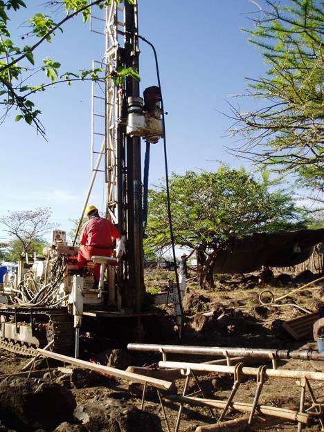
GLA’s hydrogeologists have experience in the installation and development of water supply, injection, and aquifer storage and recovery (ASR) wells for water providers as well as monitor, extraction, and injection wells for remediation of contaminated sites. For example, we have designed, permitted, and supervised construction and development of thousands of environmental monitoring points, including monitoring wells, cased piezometers, wireline piezometers, lysimeters, soil-pore gas monitoring probes, and leachate and condensate sampling points. For water supply, GLA has many years of experience with the permitting, design, construction, development, testing, and maintenance of water supply and ASR wells. Our professionals routinely design and install high-capacity wells and well fields serving municipal and private systems.

Over time, a well’s utility can be compromised by surface or subsurface conditions. GLA’s professionals have the expertise to assess well conditions and recommend appropriate rehabilitation measures unique to the well’s construction and subsurface environment. For wells that can not be rehabilitated, GLA has permitted and negotiated formal well abandonment with local, state, and federal agencies.

27 OFFICE LOCATIONS, 1 HIGHLY EXPERIENCED TEAM