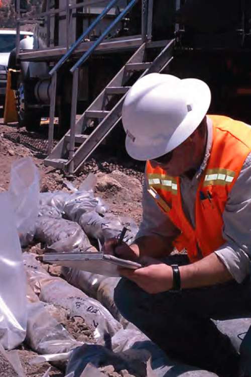
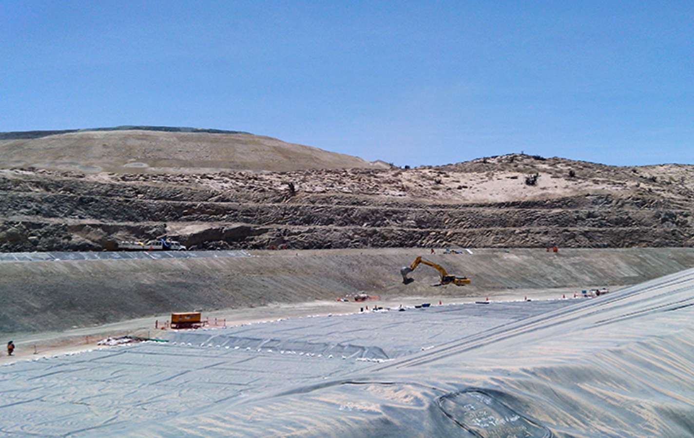
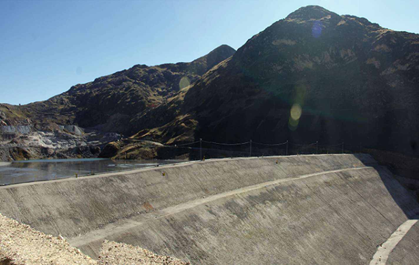
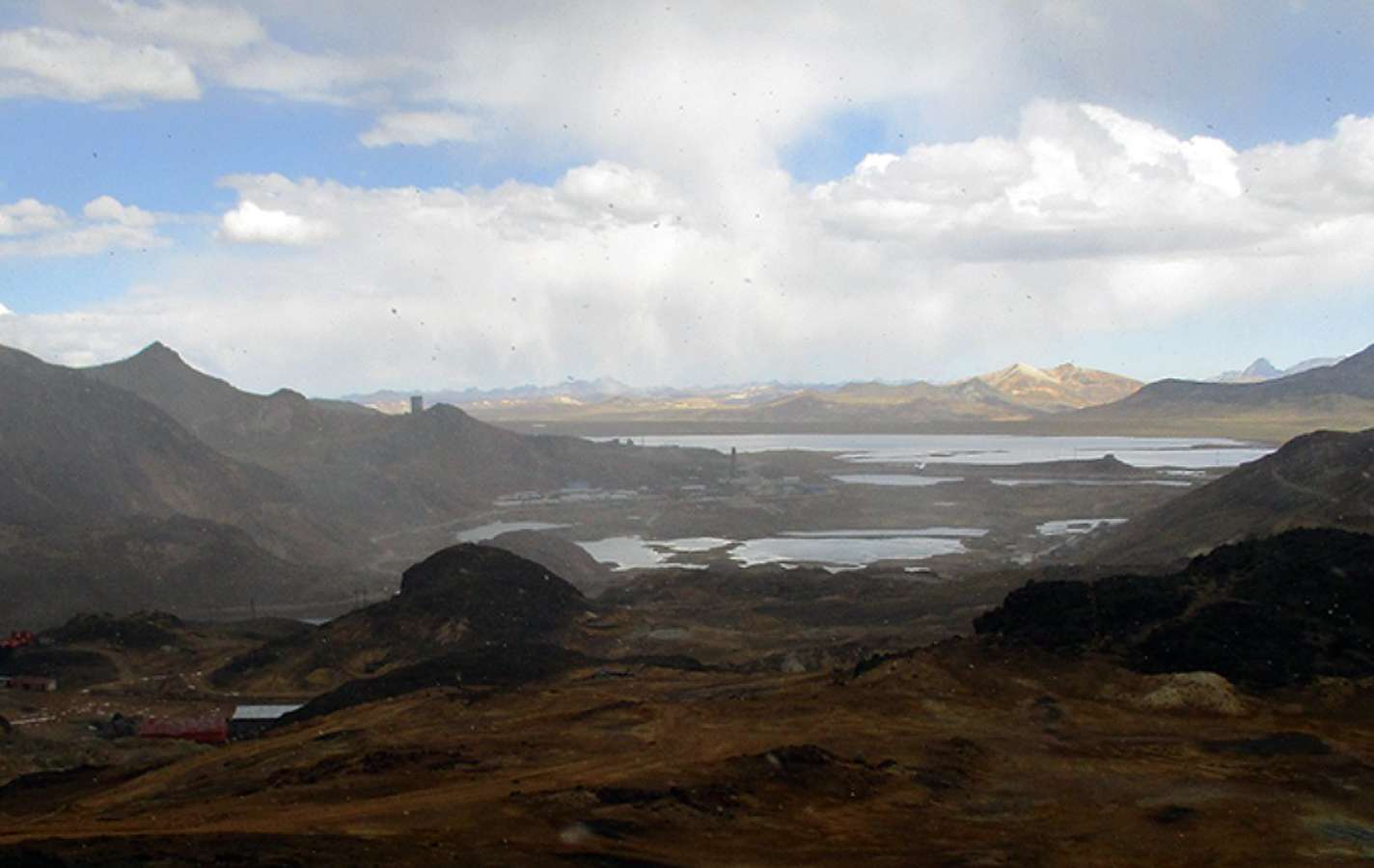
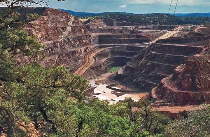
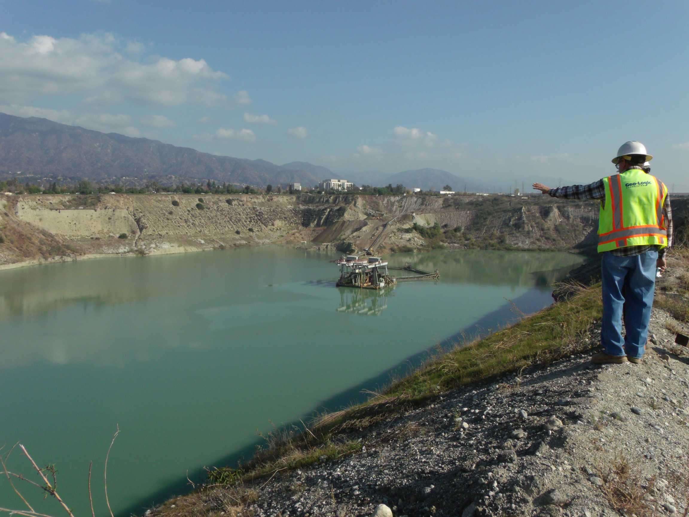
GLA has written numerous tentative plans for permanent closure, final permanent closure plans, and final closure reports. Our team has helped mining facilities optimize closure bonding cost estimates. We work with clients to gain an understanding of reclamation intentions and develop successful stabilization and revegetation programs. We have experience preparing all of the documents necessary to close mining operations pursuant to current regulations. We can assist with closure and post-closure design and monitoring, including determining goals and detailed methodology of activities necessary to achieve a level of stabilization of all known and potential contaminants.
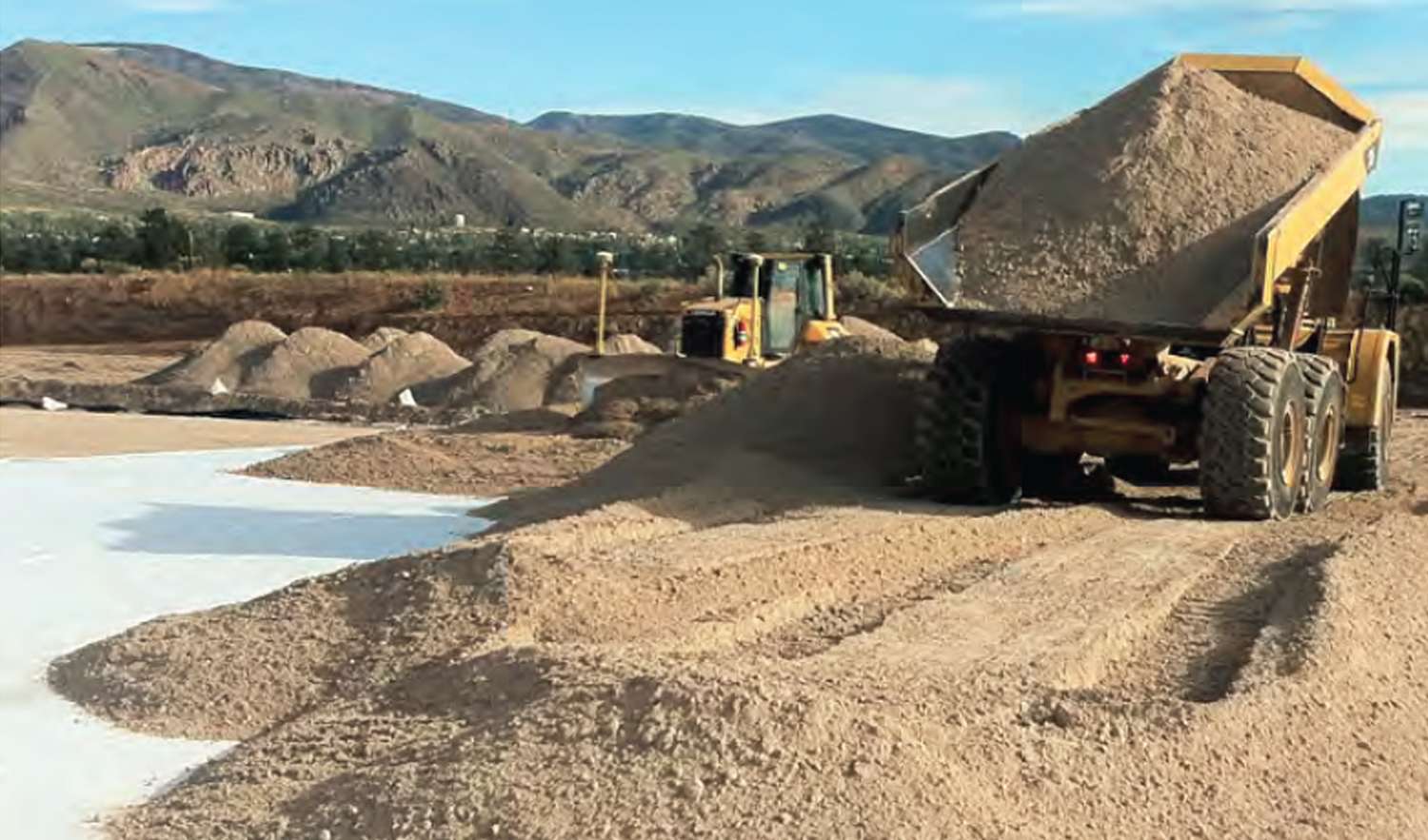
GLA develops reclamation programs consistent with intended post-closure land use. Our cover design methods include evaporation cells, evapotranspirative (ET) covers, and resistive barrier covers. To develop successful revegetation programs, we provide germination and plant uptake studies that assess the ability for native plant species to establish in the proposed growth medium (e.g., ore, waste rock, or alluvium) in conjunction with reclamation drainage design and erosion control.
Closure and reclamation services include:
- Closure plan preparation
- Closure bond cost estimates
- Design, implementation, and monitoring of closure systems
- Third-party reclamation oversight
- Reclamation drainage design
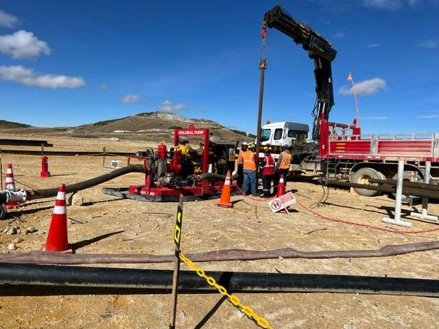
- Heap leach pad (HLP) draindown
- Recirculation, active evaporation, and passive evaporation in designed evaporation cells (E-Cell)
- Erosion control
- Riprap design
- Wattles
- Gabions
- Evaluation of chemical data for stabilization of all applicable mine components for closure
- Detailed description of all proposed monitoring that will be conducted to demonstrate how the closure goals are being met, including vegetation and erosion control, and monitoring well water quality samples
- Development of post-closure period reclamation activities, such as seeding, ripping, and fertilizing; or future activities, such as plugging monitoring wells, removing fencing, or access road removal and reclamation
Evapotranspirative (ET) Soil Cover Closure Caps
GLA’s ET Soil cover closure cap services include:
- Evaporation cell (E-Cell) design, ET cover design, and resistive barrier cover design
- Climate data set development
- UNSAT-H modeling
- Soil testing to determine soil water characteristic curve (SWCC)
- Cover soil design using measured, site-specific hydrogeologic parameters
Facility Closure Design/Site Stabilization
GLA has written numerous tentative plans for permanent closure, final permanent closure plans, and final closure reports. We can assist with closure and post-closure design and monitoring, including determining goals and detailed methodology of activities necessary to achieve a level of stabilization of all known and potential contaminants.
We are knowledgeable of closure and stabilization requirements pertaining to process and non-process components (e.g., solid and liquid process mine wastes), heap leach pads, tailings impoundments, pits, waste rock storage facilities, ore stockpiles, and other associated components that could potentially lead to degradation of waters of the state.
Closure components and major elements of site stabilization may include reshaping and regrading, covering, placing of growth medium, and applying soil amendments. We perform germination studies to assess the ability for native plant species to establish in the proposed growth medium (e.g., ore, waste rock, or alluvium), develop revegetation plans, and study plant uptake.
GLA’s facility closure design services include:
- Reshaping and regrading
- Covers and soil amendments
- Native plant studies
- Revegetation plans
- Growth medium recommendations using ore, waste rock, or alluvium
Site Visualization and Analysis
Our illustrations, 3D models, and animations range from conceptual renderings to data-driven visual interpretations. Using geographic information system (GIS) and 3D geological modeling software, we create coherent and comprehensive interpretations of surface and subsurface conditions, including visualizations of ore bodies, contaminant plumes, water levels, wells, borings, and block models.
ESRI’s ArcMap and ArcView software and its various extensions (e.g., 3D Analyst, Spatial Analyst, Image Analysis, and Tracking Analyst) are used for visualization and analysis of project data. For one mining client, we developed a custom coordinate transformation package to plug into the mine’s GIS, which allows efficient conversion between local mine coordinates and any other real-world coordinate system.

